
...via WiSP DDE
There are several polar orbiting weather satellites continuously transmitting images. They transmit a digital high resolution format (complex and expensive to receive), and a few also transmit a simpler analogue low resolution format called "APT" (Automatic Picture Transmission) - which is what this receiver picks up. Free software is available for both tracking and decoding the satellites.
Visible and infrared images are transmitted side-by-side in greyscale. They can be combined into a false colour image, which is much more pleasant to look at, and can reveal more detail.
Pics are updated now and then.
Major updates were performed during early 2010, including:
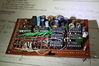 To the new prototype...
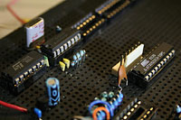 To the new PC boards...


...via WiSP DDE
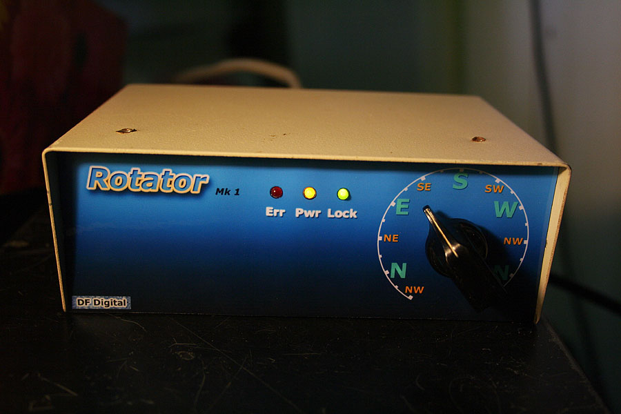
The rotator was updated to include serial port
control. The firmware automatically avoids the zero degree stop by making
decisions based on the satellite azimuth and elevation, and steering the
rotator up to 45 degrees beyond normal either before or after a pass, depending
on direction. After each satellite pass the unit reverts to analog control.
The receiver uses a recycled LCD display:

A new QFH antenna was constructed some time ago
(now out of service):


New PCB for the WxSat receiver controller - All
those countersunk holes were drilled by hand! (on a drill press)
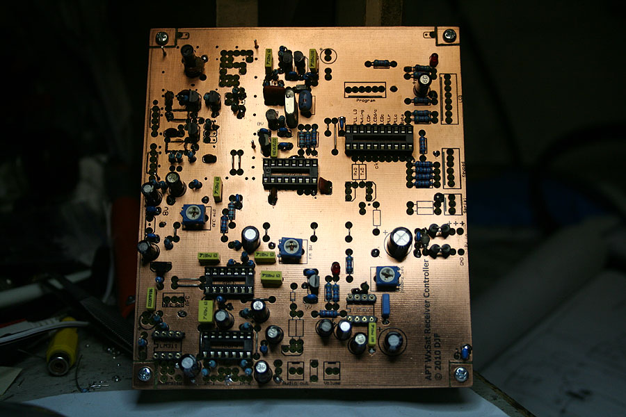
Construction commenced..

Unit operational - in testing.
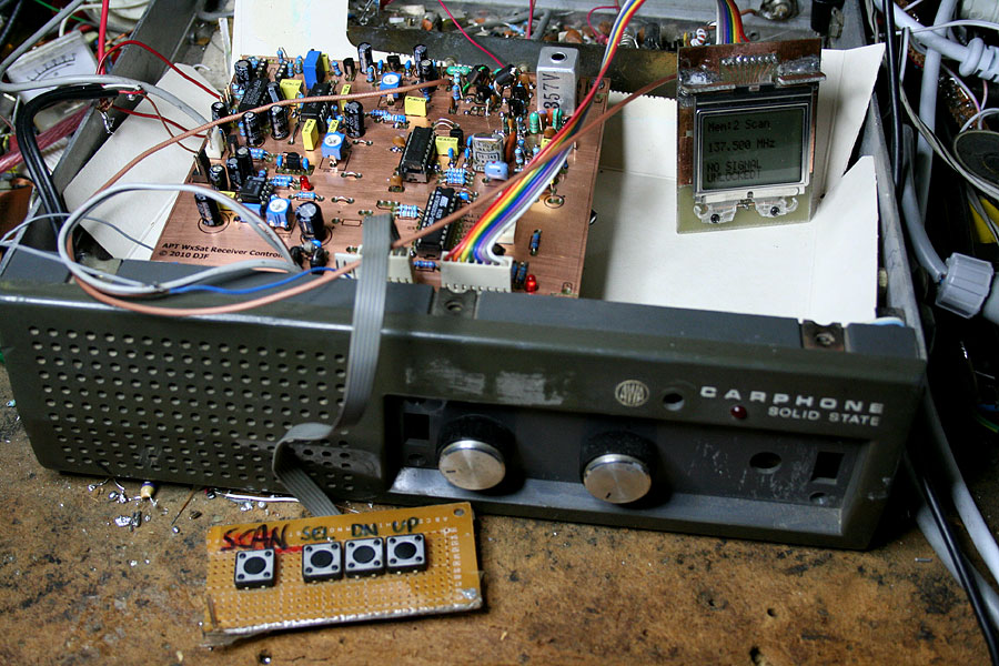
Still no front panel!

There are two receiver strips like this one -
Diversity selection switches to the one with the best signal-to-noise ratio.
The diversity system uses two combined receivers,
with two antennas -
A turnstile antenna, and a 3 element dual-polarity
Yagi:
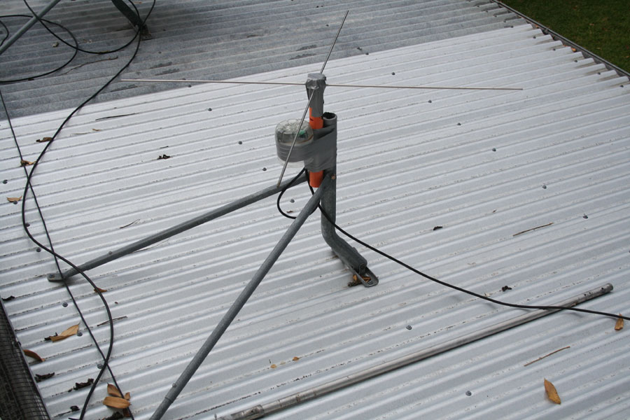
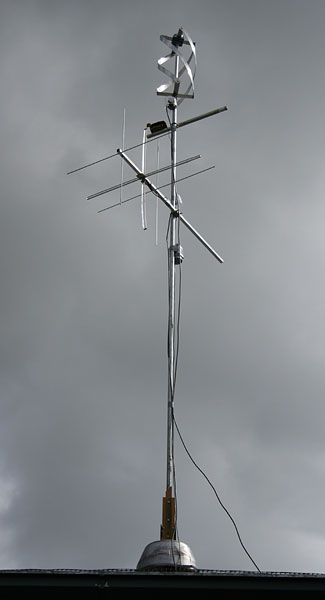
The turnstile performs well at angles where the
yagi doesn't. This results in less noise and interference in the received
picture.
New decoding software is now being used - "WXtoImg"
- and the overall results look very good:
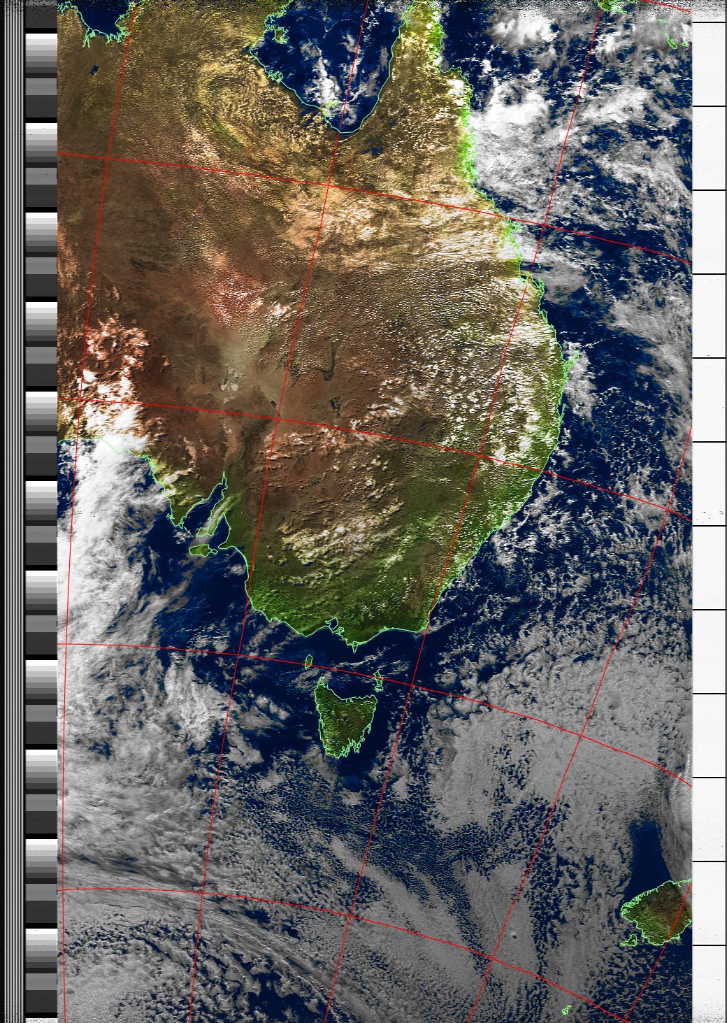
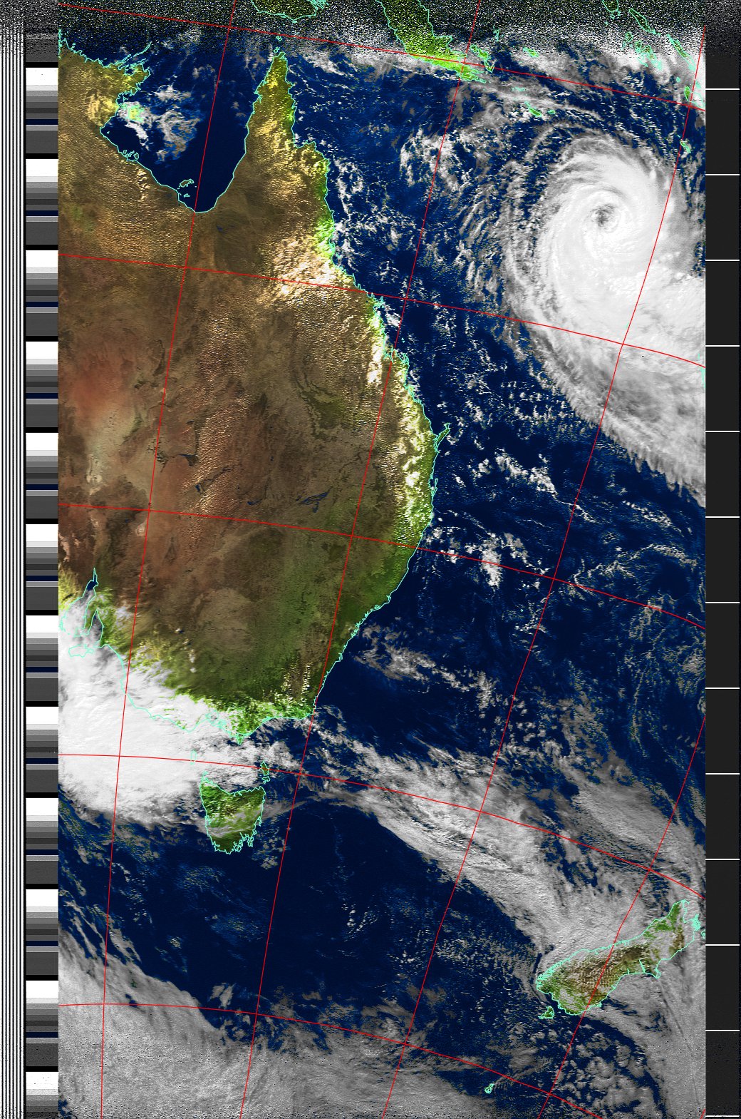
And here's an example picture from NOAA-19, showing
Cyclone Ului.
Further work to do: